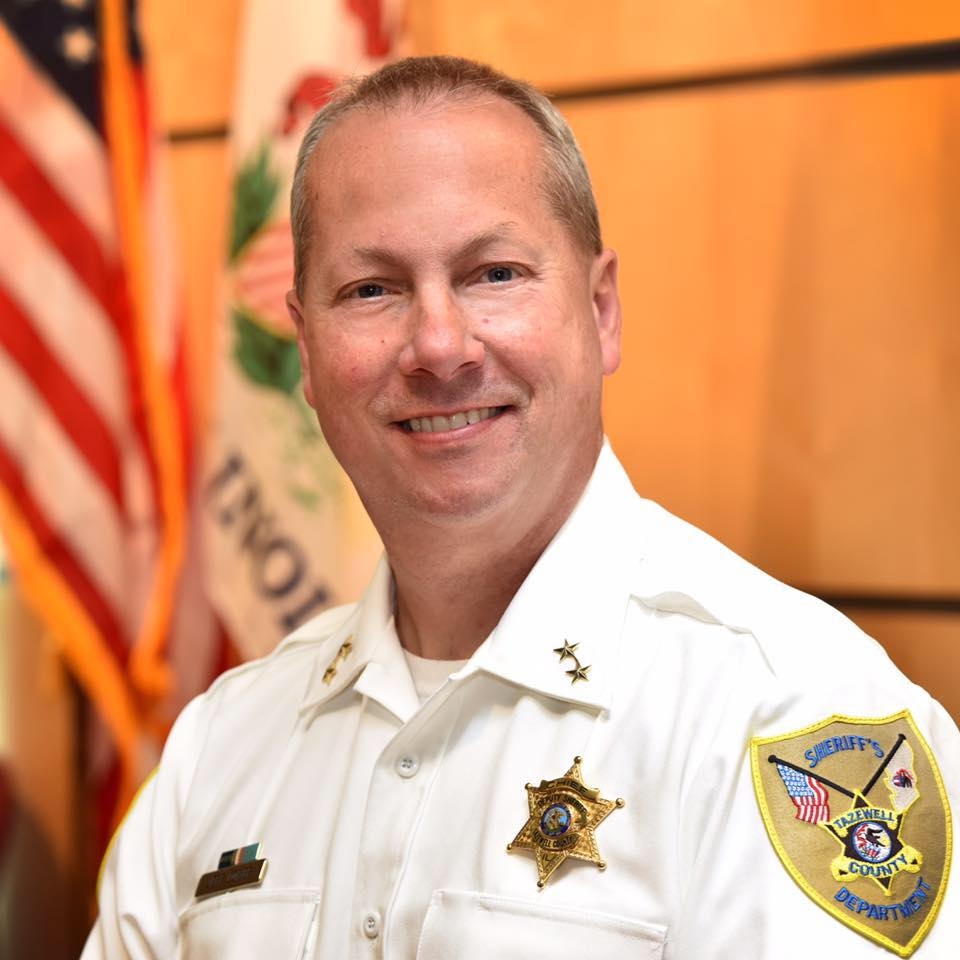
Welcome to the Tazewell County Sheriff’s Office Website. The Sheriff is the Chief Law Officer of the County and the sole Law Enforcement Official elected by the people. Many believe that the Office of the Sheriff is the main keeper of accountability between Law Enforcement and the Public. In the spirit of accountability and responsiveness, we are pleased to provide this publicly accessible site on the World Wide Web. We want you to take a look at who we are and our role in Serving and Protect.
... See MoreSee Less
This content isn't available right now
When this happens, it's usually because the owner only shared it with a small group of people, changed who can see it or it's been deleted.Wishing our community a safe, happy, and memorable July 4th weekend celebration!
Happy Independence Day from all of us at the Tazewell County Sheriff’s Office! ... See MoreSee Less
🇺🇸 We’re ready for the celebration! 🇺🇸
The Tazewell County Sheriff’s Office is all set up in Hopedale for the Independence Day festivities, and we can’t wait to see everyone!
Stop by our booth today and tomorrow to meet our deputies, check out our equipment, grab some giveaways, and say hello as we join our community in celebrating America’s 250th Birthday. It’s a great opportunity to visit with us, ask questions, and enjoy all the fun the Hopedale 4th of July celebration has to offer.
We hope you and your family have a safe and happy Independence Day. Come see us—we’d love to meet you!
🇺🇸 Happy 250th Birthday, America! 🇺🇸 ... See MoreSee Less
SCAM ALERT: Fraudsters Spoofing Sheriff's Office Phone Numbers
The Tazewell County Sheriff's Office is warning the public about an ongoing phone scam in which criminals are spoofing our office's phone number and falsely identifying themselves as deputies from a "Warrants and Fines Division."
Please be aware: The Tazewell County Sheriff's Office does NOT have a Warrants and Fines Division.
Scammers are telling victims they have missed jury duty, failed to appear in court, or have an outstanding warrant. They then demand immediate payment using Venmo, Bitcoin, cryptocurrency, gift cards, or other electronic payment methods to avoid arrest.
These calls are fraudulent.
Remember these important facts:
The Sheriff's Office will never call you demanding immediate payment to avoid arrest.
We will never request payment using gift cards, cryptocurrency, Venmo, Cash App, Zelle, or similar payment services.
Legitimate warrants are not resolved by making a payment over the phone.
Phone numbers can be spoofed, meaning the caller ID may appear to show the Sheriff's Office even though the call is coming from a scammer.
If you receive one of these calls:
Hang up immediately.
Do not provide personal or financial information.
Do not send money or purchase gift cards.
If you are unsure whether a call is legitimate, hang up and contact the Tazewell County Sheriff's Office directly using the publicly listed non-emergency phone number.
Please share this warning with your family, friends, and especially older adults, who are frequently targeted by these scams. By staying informed and spreading the word, we can help prevent others from becoming victims. ... See MoreSee Less
Central Illinois Emergency Expo - RESCHEDULED
Due to anticipated inclement weather, the Central Illinois Emergency Expo has been rescheduled. The event will now take place on Thursday, June 18, from 4:00 p.m. to 7:00 p.m. at The Shoppes at Grand Prairie, Peoria.
We appreciate everyone's understanding and look forward to seeing families, community members, and first responders come together for an evening of emergency preparedness, safety education, and interactive displays. Admission remains free.
Thank you for your support, and we hope to see you on June 18th! ... See MoreSee Less
Yesterday, members of the Tazewell County Sheriff’s Office proudly participated in the Law Enforcement Torch Run (LETR) for Special Olympics Illinois. Our team received the Flame of Hope from the Pekin Police Department and carried it along our designated route to the McLean County line.
The Law Enforcement Torch Run represents law enforcement’s commitment to supporting the athletes of Special Olympics Illinois and helping promote inclusion, respect, and opportunity for individuals with intellectual disabilities. We are honored to be part of this annual tradition and to help carry the torch in support of these incredible athletes.
#LETR #SpecialOlympicsIllinois #FlameOfHope #TazewellCountySheriffsOffice ... See MoreSee Less
Cole Hollow Road reconstruction beginning June 15, 2026.
Cole Hollow Road, between Edgewater Drive and the first curve to the north, will be closed for a complete road reconstruction beginning June 15, 2026.
The closure is expected to remain in place for approximately six weeks, weather permitting.
Residents within the affected area will maintain access to their properties via Edgewater Drive throughout the project.
The project is being managed by United Contractors Midwest (UCM).
Please find alternative routes to avoid delays. ... See MoreSee Less
Today, Deputy John Shallenberger of the Tazewell County Sheriff’s Office had the opportunity to participate in the 2026 Handle With Care Conference at Central Junior High School, joining educators, school resource officers, mental health professionals, healthcare providers, and community partners dedicated to supporting children impacted by trauma.
Deputy Shallenberger took part in a Fireside Chat alongside Amanda Rogers of Central Primary School, sharing insights on the importance of collaboration between law enforcement, schools, and community agencies in identifying and supporting children who have experienced traumatic events. ... See MoreSee Less
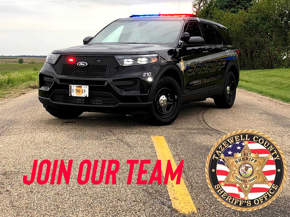
‼️*POSITIONS HAVE BEEN FILLED*‼️
The Tazewell County Sheriff’s Office is currently hiring for 2 Control Room Operator positions.
Available openings include:
Full-Time Position
3rd Shift | 11:00 PM – 7:00 AM
Part-Time Position
2nd Shift | 3:00 PM – 11:00 PM
Pay is $21.16/hour.
Control Room Operators play an important role in supporting the daily operations of the Sheriff’s Office. This position is a great opportunity for someone who is dependable, detail-oriented, and ready to serve their community in a meaningful way.
Apply online here:
sheriff.tazewell-il.gov/deputy-sheriff-civilian/
Applicants must pass a fingerprint-based criminal history check, background check, and polygraph test.
Please share to help us spread the word! ... See MoreSee Less